Where is the Birdsville Track?
The Birdsville Track runs from Marree in northern South Australia, to Birdsville just over the border in outback Queensland.
It’s about 500km long and cuts through three deserts – the Tirari Desert, Sturts Stony Desert and the Simpson. See Birdsville Track Map.
Birdsville Track History
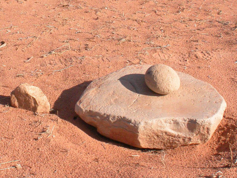
The Birdsville Track was once an Aboriginal trading route that lead from waterhole to waterhole.
When white settlers came, they followed the same route. They called it ‘The Queensland Road’.
As cattle and sheep farming took hold, The Queensland Road’ became a stock route south to market. Birdsville grew into a settlement and became a taxation point for the Queensland government.
The settlers struggled to access supplies. Bullock teams sunk into the dunes and it took many changes of horses to get to Birdsville.
In 1866 the first ‘Afghan’ cameleers arrived in Marree. Their 100-strong camel teams were the perfect solution.
In the 1930s, trucks were introduced. Soon, bulldozers flattened the high peaks of the Naterannie and Ooroowillanie Sandhills.

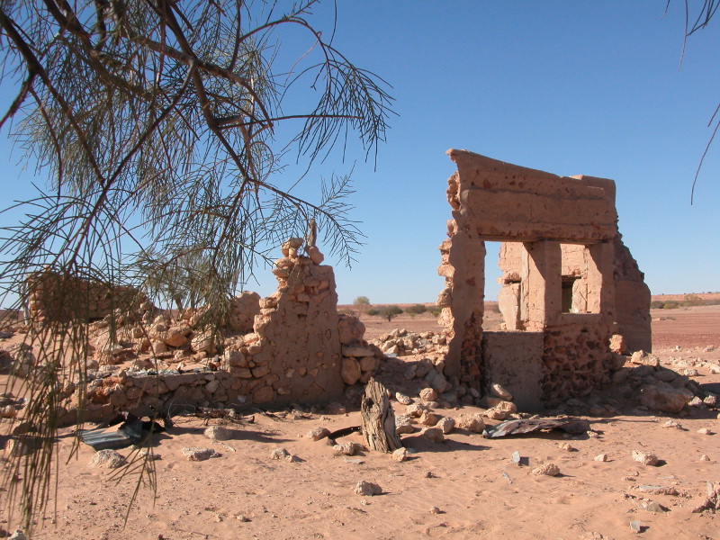
Still, the stories remain. This legendary dirt road has a rich folk history, fascinating culture and unique ecosystems.
Close your eyes and dream of camel teams, Aboriginal rainmakers and doomed explorers Burke and Wills.
Imagine what it might be like to live here!
Listen to an audio about the Birdsville Track:
![]()
Listen to more audios about the Birdsville Track.
Driving the Birdsville Track
You can drive the Birdsville Track in a 2WD car, except after rain or flood.
Washouts, bulldust holes and the rough road surface can damage the undercarriage of any car with low road clearance. But the Birdsville Track is graded regularly and is generally easy to drive.
There are also 4WD Tagalong or bus tours.

Rain on the Birdsville Track
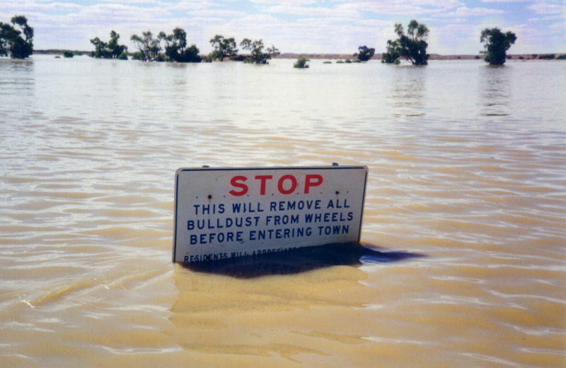
After rain (which is rare!) the Birdsville Track may be closed to 2WDs or even 4WDs to protect the surface. There are large fines for ignoring road closures.
When Cooper Creek is flowing you may need to take the wet weather road via Etadunna Station.
Birdsville Track Road Conditions
You can check road conditions at:- The South Australian Government’s outback road conditions, including the Cooper Creek ferry
- The Diamantina Shire’s road conditions


When to Travel
October to March the Birdsville Track is very hot – usually between 37C and 46C. There’s very little traffic on the road and it’s important to travel with adequate food and water in case of breakdown.
The weather’s more comfortable from April to August. A few cold weeks in June/July may freeze your billy water overnight. Apart from that, days are usually beautiful, clear and balmy.
Birdsville Track Accommodation, Food and Fuel
Mungerannie Hotel
- Motel rooms and campsite
- Meals
- Fuel, tyre repairs
- Hot spa
Read about Mungerannie Hotel.
Postal address – PMB 79, via Port Augusta, SA 5710
Tel 08 8675 8317, Fax 08 8675 8388
Email mungeranniehotel(at)bigpond.com.au
Web www.mungeranniehotel.com.au
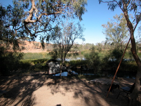

Clayton Station
- Luxury accommodation
- Campsite
- Wetlands
- Hot bush spa
- Trail riding tours
Email claytonstation(at)bigpond.com.au
Web www.claytonstation.com.au

